ASHEVILLE, N.C. (828newsNOW) — Winter looks poised to reassert itself across Western North Carolina, bringing the threat of snow, biting winds and dangerously cold wind chills by midweek.
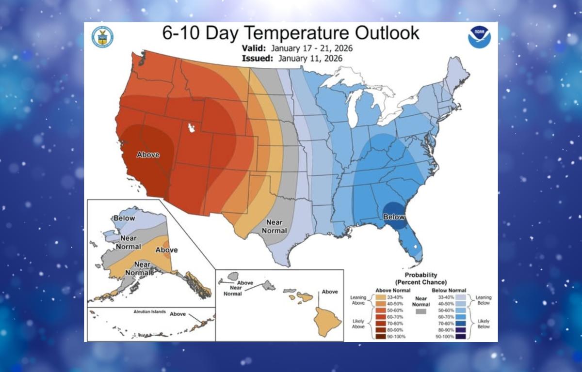
The National Weather Service in Greenville-Spartanburg said the signal for colder weather is strengthening for mid-January, with winter storm chances looming. Forecasters are watching a system expected to arrive Wednesday night into Thursday that could deliver widespread rain, changing to snow in the mountains, followed by a sharp drop in temperatures.
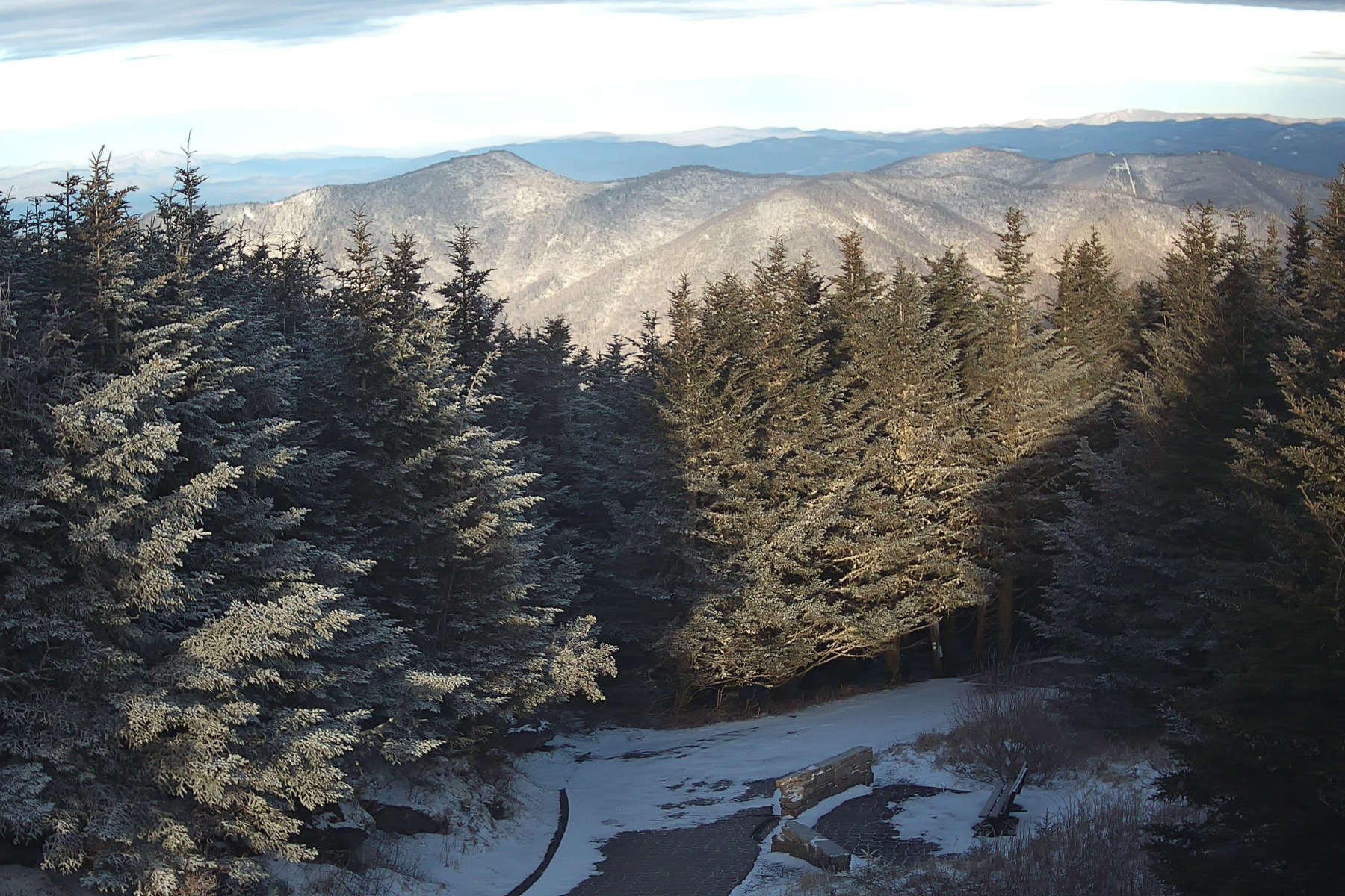
A northwest-flow snow event is increasingly likely to impact the North Carolina mountains from Wednesday evening through Thursday. Snow accumulations are expected to be heaviest above 3,500 feet, particularly near the Tennessee border. Gusty winds and hazardous wind chills could develop Thursday night into early Friday, especially in the northern mountain counties.
Ahead of the storm, low relative humidity is expected Monday afternoon, mainly east of the mountains. However, forecasters said lighter winds should help limit the fire danger.
In Asheville, fair and seasonable conditions are expected early in the week. Monday will be sunny with a high near 48 degrees, followed by a mostly clear night with lows around 23. Tuesday will warm into the upper 50s under sunny skies before clouds increase Tuesday night.
Rain chances rise Wednesday afternoon, with rain likely Wednesday night and a transition to snow possible after midnight. By Thursday, temperatures are expected to struggle to reach 30 degrees, with lingering snow chances early in the day. Overnight lows could dip into the low teens Thursday night before a cold but sunny finish to the week.
Forecasters said the cold air settling in late this week could linger, keeping winter firmly in place across the region as January continues.