ASHEVILLE, N.C. (828newsNOW) — As cold winds rattled high peaks and snow showers swept along the Tennessee border Sunday morning, rising water along the French Broad River signaled another concern for parts of Western North Carolina: minor flooding expected to linger into early week.
The National Weather Service in Greenville-Spartanburg issued a flood warning for the French Broad River at Grove Bridge Road in Blantyre, affecting Transylvania and Henderson counties. Forecasters said the river is expected to rise above flood stage Sunday morning, cresting near 17 feet before gradually receding late Sunday evening.
At that level, floodwaters are expected to inundate farmland between the river and an old railroad bed and may begin to cover the shoulders of River Road near the Big Willow Road intersection. Boat access areas at Grove Bridge Road and Crab Creek Road are also impacted, according to the weather service.
As of Saturday afternoon, the river stage measured 11.6 feet. Flood stage at that location is 16 feet, with bankfull conditions beginning at 15 feet. The flood warning remains in effect through early Monday afternoon.
The flooding comes as strong northwest winds and winter-like conditions grip the region’s higher elevations. A wind advisory remains in effect until 6 p.m. Sunday for areas above 3,500 feet across much of Western North Carolina, including Buncombe, Haywood, Madison, Mitchell and Yancey counties.
Forecasters warned of sustained winds between 20 and 30 mph, with gusts reaching up to 50 mph. At Mount Mitchell, the state’s highest peak, temperatures dipped to 16 degrees early Sunday, with wind chills near minus 7 and gusts approaching 60 mph.
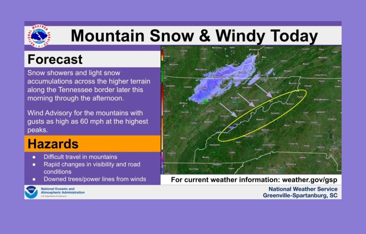
Snow showers moved into the North Carolina mountains along the immediate Tennessee border Sunday morning, with brief periods of heavy snow and blowing winds expected through the afternoon. Accumulations of up to an inch are possible over the higher peaks, the weather service said.
In lower elevations, temperatures are expected to climb only into the upper 40s and lower 50s, while gusty winds of 20 to 30 mph persist throughout the day.